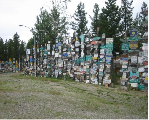
Then on to Watson Lake, Yukon, where you will find the famous signpost forest where you can take a sign of your hometown and erect it with the many other signs people have brought from all over the world. You can now see one there representing Timberville, Virginia.
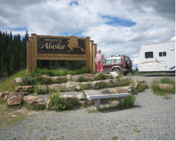
Since leaving Alberta we spent most of our time driving. Seems like I had been driving forever. We need to see the sign telling us we are in Alaska. Our next town of any size was at Whitehorse, Yukon Territory, made famous by the Klondike gold rush days.
We were driving down main street in Whitehorse. I asked Kay a question and got no answer. I looked over at her and she was staring straight ahead. I knew what was wrong…her sugar had dropped again as it had done many times before since leaving home. I pulled over to the curb and got back in the trailer and got her some orange juice. In about 10 minutes she began to rally. If you couldn’t get her sugar count to raise you had a medical emergency on your hands. It causes a problem if you are in remote areas. It was the main reason we had thoughts about not going on such a trip, but we pushed on.
We saw the grand old stern-wheeler SS Klondike moored on the Yukon River in Whitehorse. I have 100’s of photos but don’t have room in this newspaper to show them. I might publish a book on our trip sometime.
We decided to go to Valdez by way of the Tok Cutoff, a shortcut found on the Alaska Highway at Tok, Alaska, to do some fishing. Long story short the fish were not biting. The cause? River otters in water. They scare the fish off I’m told.
On this road we saw our first glacier, the Worthington Glacier. Valdez is the pipeline terminal. We toured Valdez and Old Valdez. The town (Old Valdez) was destroyed by the 1964 earthquake. We camped at Valdez for one night.
On leaving Valdez we got on the Richardson Highway. Alaska’s first highway that extends 366 mi from Valdez to Fairbanks. On this road we got our first glimpse of the Trans-Alaska Pipeline. The 800-mile pipeline that carries crude oil from Prudhoe Bay on the Arctic Ocean to the terminal at Valdez.
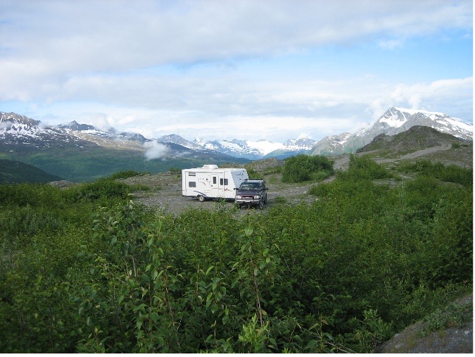
The next morning, we were off to Anchorage by way of Thompson’s Pass, (Rt. 4), 2771 ft. elev. See photo of camping in the clouds. The very reason we prefer a small camper.
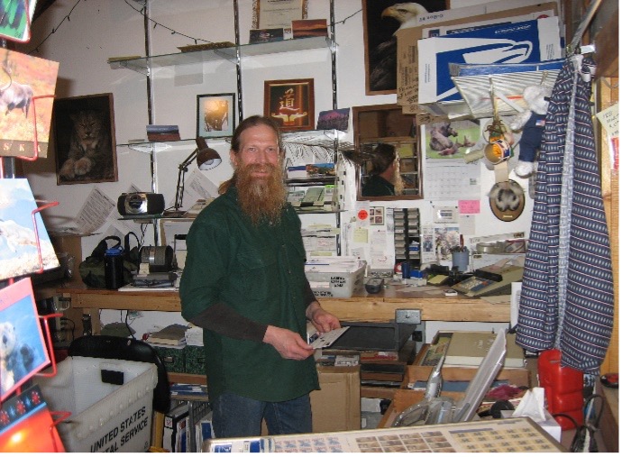
At Glennallen we took Rt. 1 west (The Glenn Highway) toward Anchorage. At the small settlement of Chickaloon we saw a small post office approx. 12 x 12 ft. in which to mail some post cards. On entering I saw nobody so I called to see if anyone was around. This red haired long bearded fellow came to the window, and I took his photo.
We are on our way to Anchorage.

